
Forestry Intelligence
Explore what LiDAR can tell you about your stands.
We are developing forestry workflows for tree measurements and stand summaries. Pilot outputs require project-specific review and field calibration.
In development
Forestry analytics are in development. Treat pilot inventory outputs as relative estimates until project-specific field calibration has been supplied and validated.
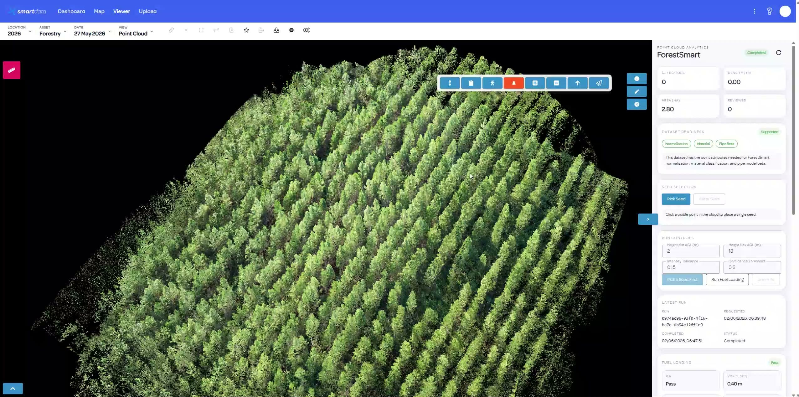
What an evaluation will assess.
We agree on the inputs, expected outputs and quality checks before the evaluation starts.
For forestry asset managers; plantation survey and inventory teams; lidar teams validating stand-level outputs.
- Tree detection suitability for the supplied LiDAR
- Height and stem measurements against field references
- Potential stand summaries and inventory outputs
- Data coverage and uncertainty at tree level
- The field calibration needed for DBH and volume estimates
- A review process for pilot outputs
A clear first evaluation.
- Define the stand, planning question and required inventory measures.
- Assess the LiDAR coverage and available field reference data.
- Agree on pilot outputs and acceptance checks.
- Review the results and limits before any operational use.
Availability and data requirements
- Forestry analysis remains in development.
- DBH, volume and assortment outputs are pilot objectives, not assured deliverables.
- Inventory estimates remain relative unless field calibration is supplied and validated.
Why explore this workflow?
- Assess the useful detail in your existing forestry LiDAR.
- Connect potential tree-level outputs with stand planning needs.
- Make calibration and uncertainty part of the first discussion.
Before the first project.
Is this a replacement for field inventory?
No. The workflow is in development. Pilot estimates require review and appropriate field calibration before operational use.
Which outputs can we assess?
Discuss tree detection, height, stem measures and potential stand summaries. We will agree on feasible pilot outputs for the source data.
Does the pilot require DJI L3?
DJI L3 is one possible source. The team will assess the coverage, resolution and georeferencing of the available LiDAR before confirming the pilot scope.
Start with a representative dataset.
Tell us what you have and what the team needs to review. We will confirm the workflow fit and agree on the next step.