Proof from real asset programs
See how drone capture, inspection imagery, LiDAR, mapping, and 3D outputs become safer review cycles and clearer asset decisions.
Projects
10
Industries
10
Evidence
Field-tested
Featured program
Real programs show how safer capture, clearer evidence, and repeatable data workflows help asset owners move from inspection to decision.
Featured Case Study
Bridging the Gap: Safer, Smarter Bridge Inspections for Aurecon & Snowy Hydro
National Drones conducted comprehensive bridge inspections for Aurecon and Snowy Hydro, capturing high-resolution LiDAR and photogrammetry data across 38 bridges in NSW and ACT.
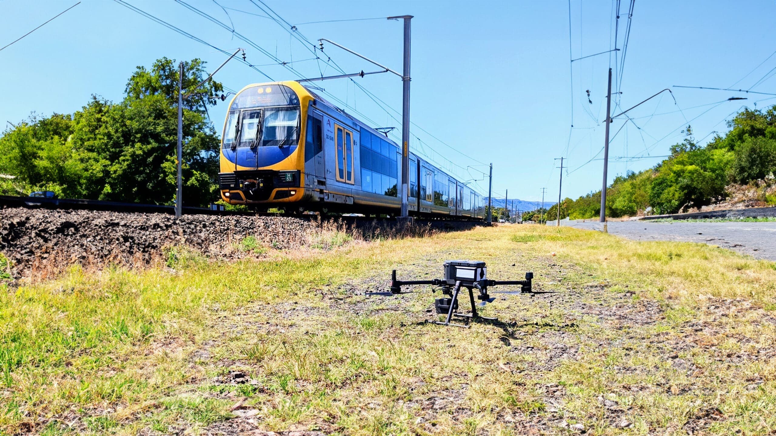
Rail Infrastructure
Precision from Above: Drone Inspections Elevate the Sydney Rail Network's Asset Safety and Integrity
National Drones and Aurecon inspected 3,818 rail assets across Sydney's network using drone photogrammetry and LiDAR, covering 438 kilometres of rail corridor.
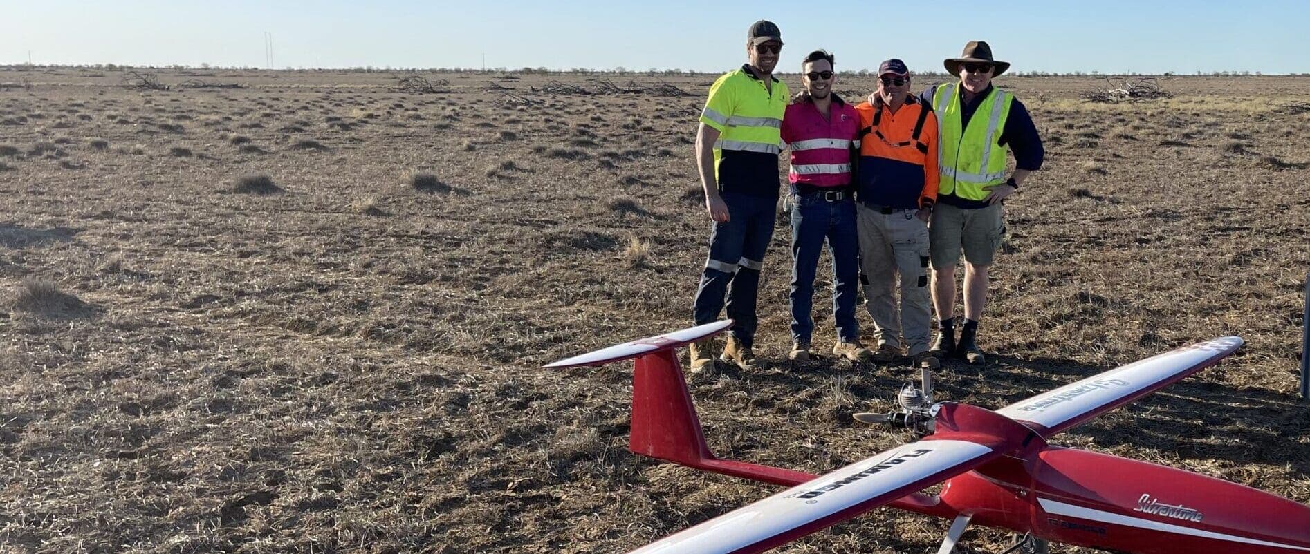
Mining & Resource Exploration
Mapping the Future: A Large Area Drone Survey Covering 250 km²
National Drones partnered with Silvertone and QEM to conduct an extensive BVLOS aerial survey spanning 250 square kilometres, creating detailed orthomosaic and digital elevation models.
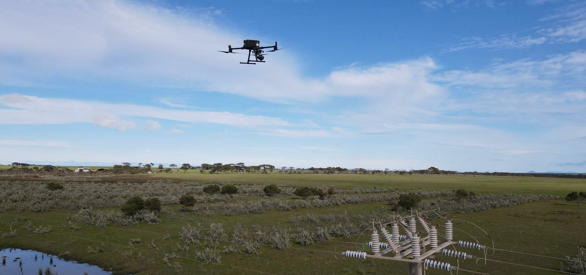
Utilities
Powering Progress: A Case Study on Drone Inspections of 25,000 Power Poles
National Drones revolutionised utility sector inspection programs by conducting drone inspections of 25,000 distribution poles, improving safety and efficiency.
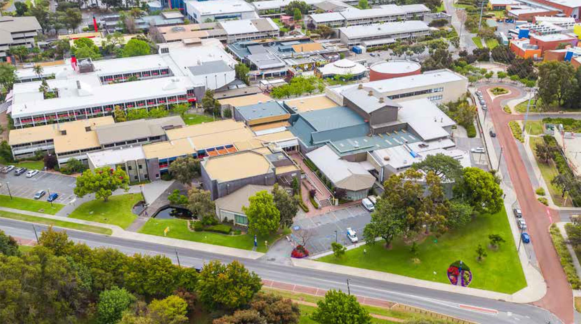
Higher Education
Edith Cowan University
National Drones assists BGIS and Edith Cowan University in delivering operational efficiencies and improving building management through safe, rapid drone-based structural inspections.
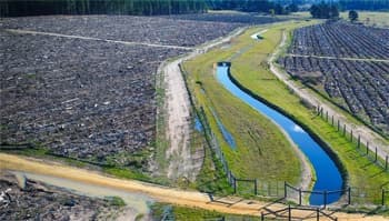
Water & Wastewater
Gippsland Water
National Drones partnered with Gippsland Water to reduce maintenance inspection times and gain greater insights into asset condition via aerial survey, thermal imaging, and NDVI analysis.
Education
NSW Department of Education
National Drones conducted aerial inspections and condition reports at 150 schools across rural New South Wales, delivering 1,200 building inspection reports within 40 days.
Mining
BHP Olympic Dam — BVLOS Survey
National Drones conducted a BVLOS aerial survey of BHP's 180km² Olympic Dam mine site in South Australia, one of the largest ever covered by survey drone in Australia.
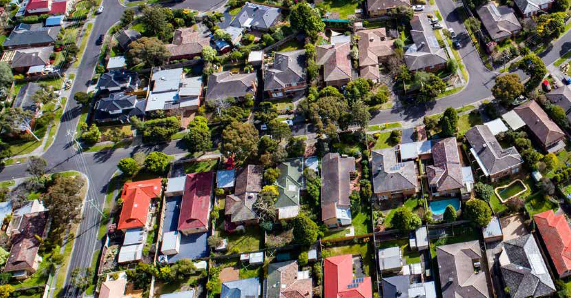
Water & Utilities
Western Water
National Drones helped Western Water deliver efficiencies and improve the quality of their spatial asset register by locating and identifying ground assets via aerial photogrammetry.
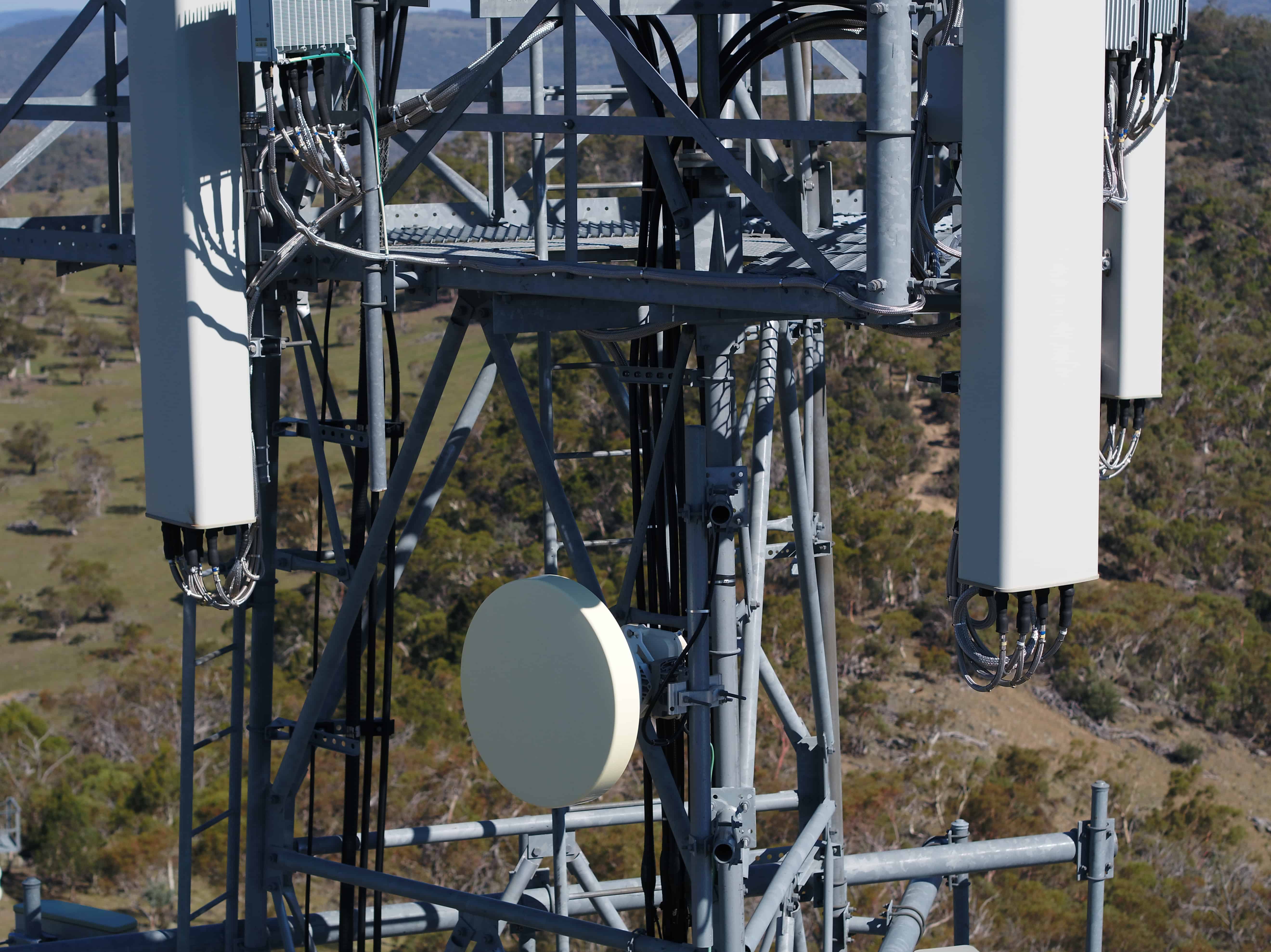
Telecommunications & Broadcasting
Broadcast Australia — Tower Inspections
National Drones partnered with Broadcast Australia to inspect over 400 vertical assets across 391 sites nationally, replacing traditional climbing-based inspections with safer drone technology.