
Locate the work
Use the orthomosaic to put access routes, site features and review areas in context.
2D maps and site review
Give your team a common view of the site. Review a hosted orthomosaic, locate features and add annotations to the areas that need attention.
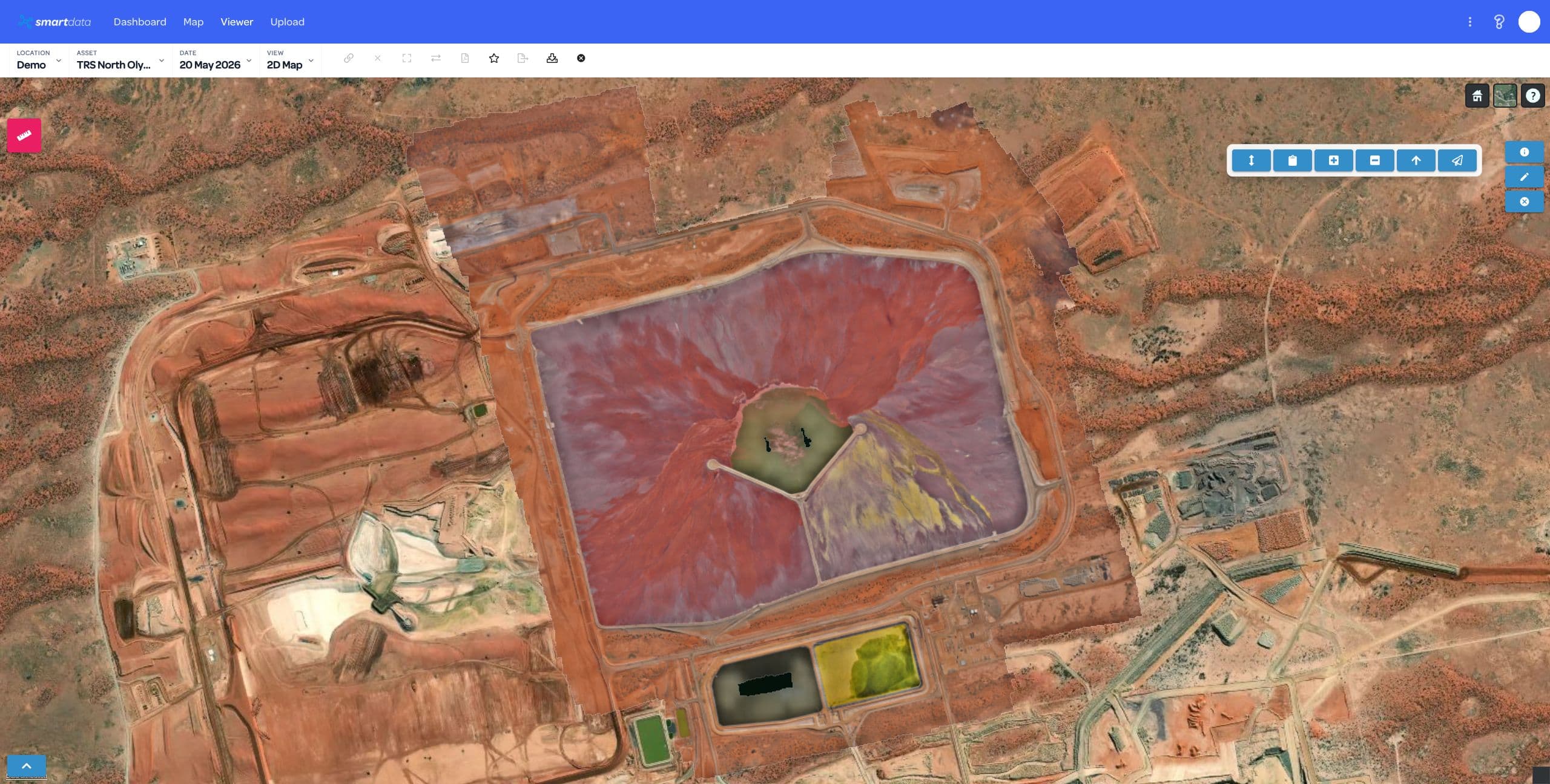
Bring processed mapping outputs into browser review. Keep the source capture and its limits in view when you use the data.
Use the orthomosaic to put access routes, site features and review areas in context.
Record annotations on the map so colleagues can find and understand the area under review.
Review detail from the supplied mapping output. Resolution and accuracy depend on capture, control and processing.
Use the map to explain the site, record an observation or direct a reviewer to a location. Check the required outputs in a guided demo.
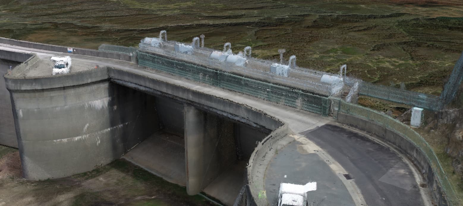
A map can provide site context alongside related 3D data. SmartData does not establish survey accuracy independently of the supplied dataset.
Explore models and point clouds →Tell us how the data was processed. We will confirm the format and any preparation required.
Review the dataset in SmartData against the detail and functions your team needs.
Agree on viewer access and project outputs. Start with one useful dataset.
Tell us what your team needs to review. We will show the relevant workflow and agree on a practical first step.