3D Models
Inspect photogrammetry and digital twin outputs in the browser with spatial context connected to the source project.
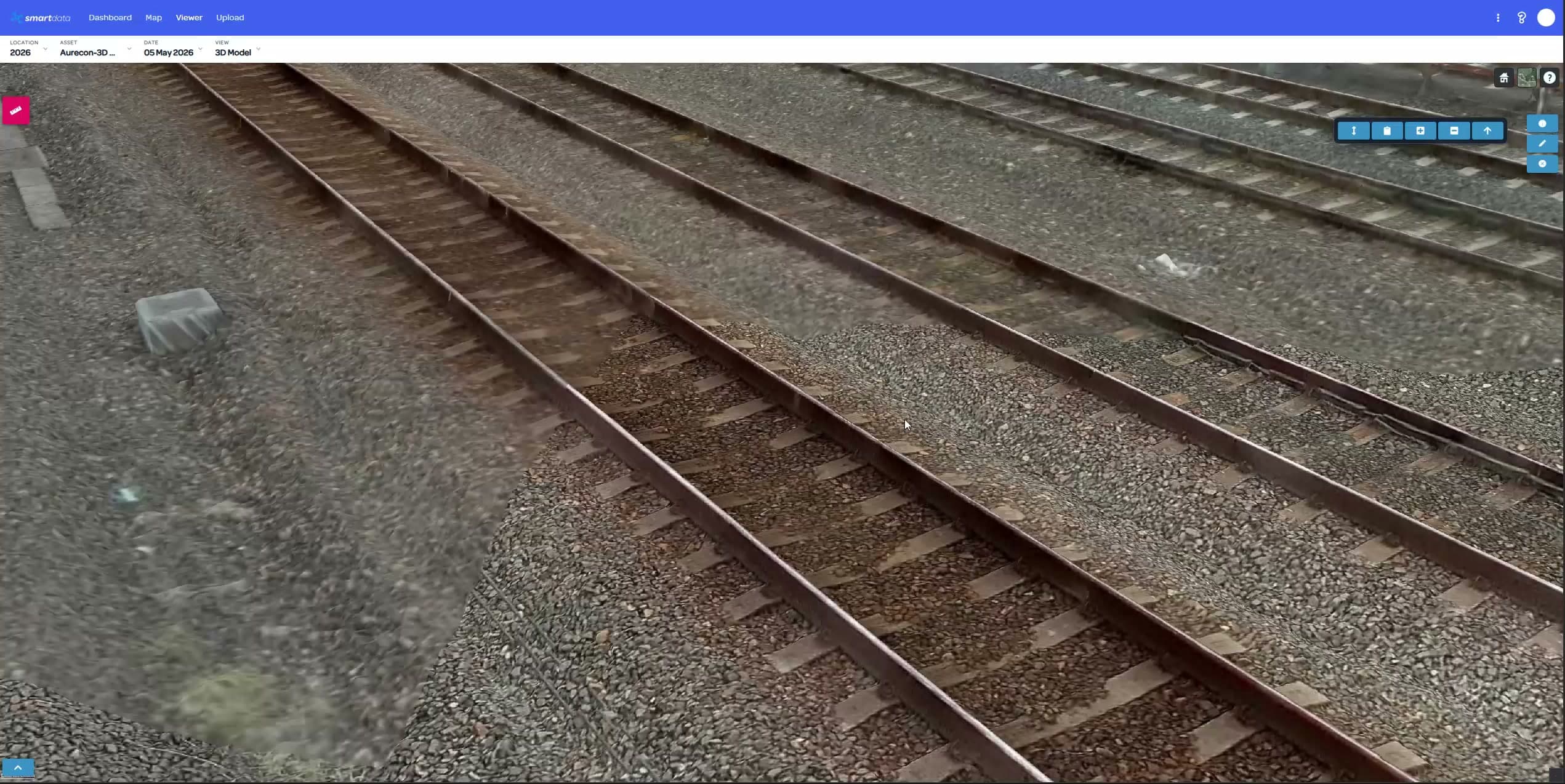
Review models, point clouds, LiDAR, terrain, source photos, and Gaussian Splat outputs in a SmartData workspace built for evidence-led asset decisions.
View modes
8
Context
3D + source
Outputs
Reports
Some questions need a crisp model, some need a dense point cloud, and some need immersive splat context. SmartData keeps those views close together so teams can inspect, validate, and explain the result.
The 3D surface is strongest when it connects visual quality, measurements, source evidence, and team review in one repeatable workflow.
Inspect photogrammetry and digital twin outputs in the browser with spatial context connected to the source project.
Review dense point clouds and LiDAR-derived context for structures, corridors, vegetation, terrain, and complex assets.
Use immersive splat visualisation for high-fidelity site context where a standard mesh or map is not enough.
Keep the model connected to source images and inspection evidence so review teams can trust what they are seeing.
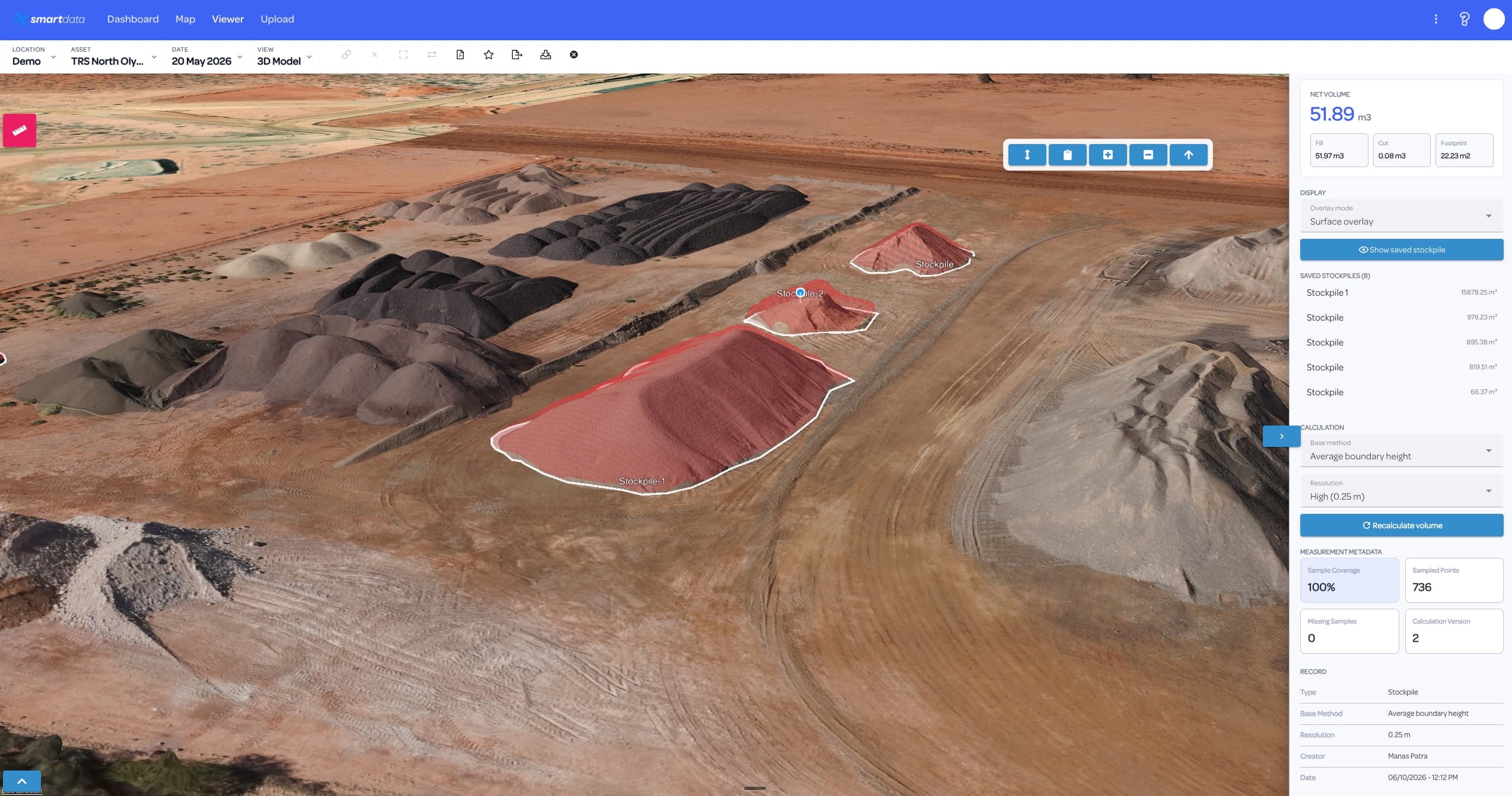
Support distance, area, terrain, and stockpile workflows where teams need usable numbers from spatial data.
Compare repeat captures to understand deterioration, construction progress, vegetation growth, or site movement.
SmartData keeps modern spatial outputs together: point clouds, splats, terrain, source imagery, and models that can be reviewed in context.
Upload the model stack, inspect the asset in context, then attach the decision back to the project.
Bring 3D models, point clouds, terrain, and splats into a project workspace with related files and context.
Move between visual modes to confirm asset condition, clearance, geometry, and surrounding site context.
Use notes, measurements, reports, and exports to preserve the evidence behind engineering or maintenance action.
Bring a sample dataset, inspection workflow, or corridor problem. We will map the right SmartData path and show where the sandbox experience can support your own asset workflow.