
Photogrammetry Engine
Help shape the path from drone photos to shared models.
We are developing a processing workflow that turns drone imagery into hosted models and point clouds. Discuss a pilot around your capture and output requirements.
In development
Raw-photo processing is in development. Current BYO hosting plans cover supported processed packages. Processing requires a separate agreed scope.
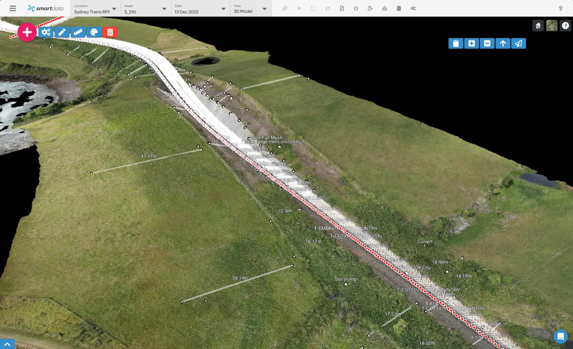
What an evaluation will assess.
We agree on the inputs, expected outputs and quality checks before the evaluation starts.
For drone processors who want repeatable hosted delivery; surveyors moving from local processing tools to team review; asset teams that want fewer handoffs between capture, processing, and evidence review.
- Image suitability and capture coverage
- Georeferenced model and point cloud outputs
- Quality checks against agreed project requirements
- A supported package for hosted review
- The effort required between capture and delivery
- A practical handoff for the project team
A clear first evaluation.
- Share the capture details, intended use and required outputs.
- Agree on source data, quality checks and pilot scope.
- Evaluate the processing output against those checks.
- Review the result and determine the next development step.
Availability and data requirements
- The processing workflow is in development.
- BYO hosting fees do not include raw-photo processing.
- A pilot needs an agreed scope, data requirements and acceptance checks.
Why explore this workflow?
- Assess the path from your imagery to a usable deliverable.
- Define output quality before a wider rollout.
- Keep current BYO hosting available for already processed data.
Before the first project.
Can we buy raw-photo processing online?
No. The workflow is in development. Discuss a scoped pilot with the team.
What can we host today?
BYO hosting accepts supported, processed packages for maps, 3D Tiles, point clouds and Gaussian Splat views.
What should we bring to a pilot discussion?
Tell us the capture type, image count, site, coordinate requirements and intended deliverable. We will discuss the source data and quality checks needed.
Start with a representative dataset.
Tell us what you have and what the team needs to review. We will confirm the workflow fit and agree on the next step.