
Gaussian Splatting
Give reviewers a more immersive asset view.
Host supported Gaussian Splat packages for visual review. Processing from raw imagery remains in preview and requires a separate scope.
BYO hosting · Processing preview
Supported splat package hosting is available through BYO. Raw-image processing remains in preview. Splats provide visual context; measurement needs a suitable georeferenced source.
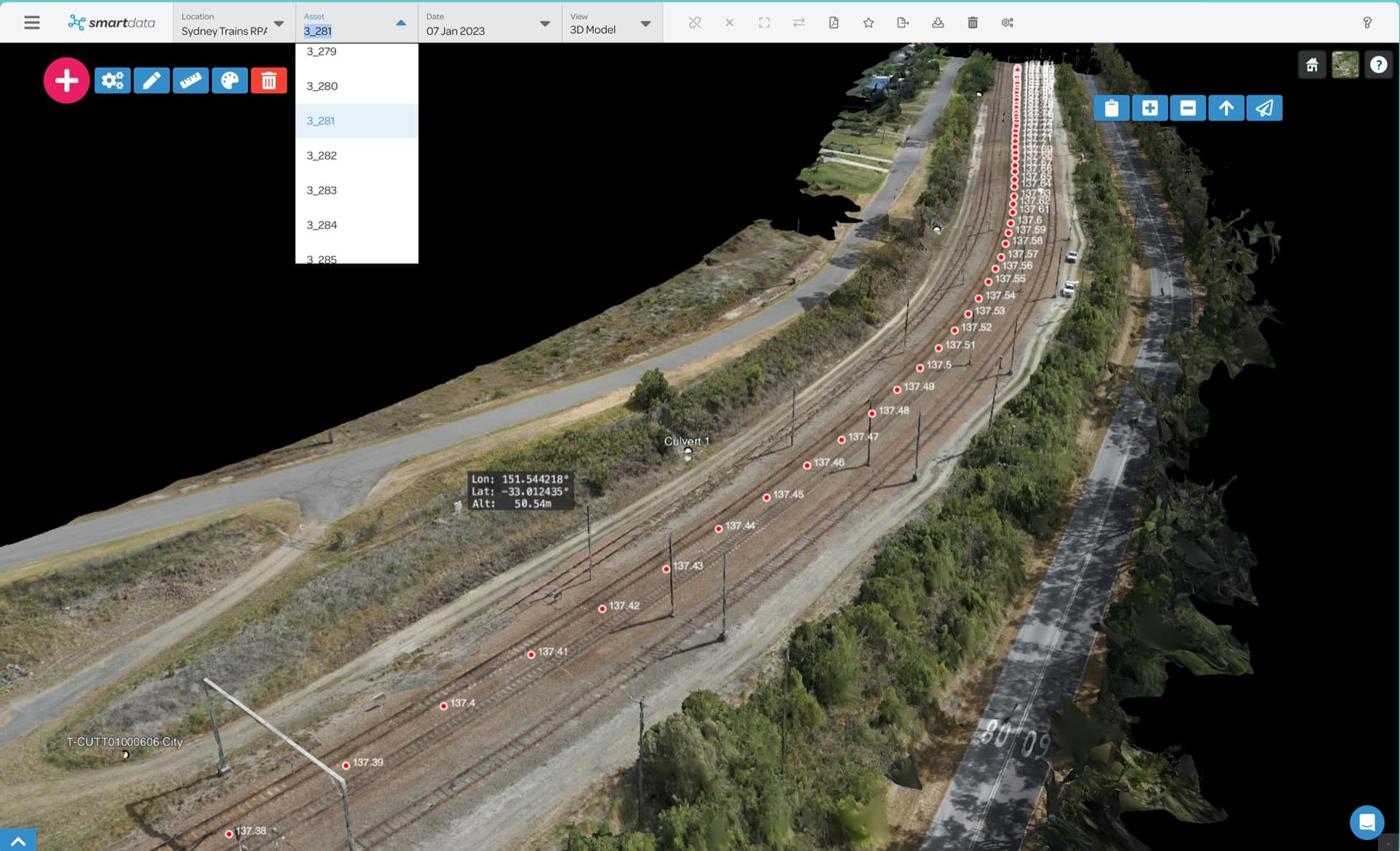
What your team can review.
Confirm the package contents and the review functions your project requires.
For asset teams needing immersive visual context; drone processors experimenting with 3d gaussian splatting; infrastructure teams reviewing towers, substations, bridges, and complex sites.
- Compatibility of your processed splat package
- The visual detail your reviewers need
- Browser review of a supported hosted package
- Related maps, models or point clouds for project context
- Data preparation required before upload
- Separate scope for a raw-imagery processing preview
From your package to team review.
- Tell us how the splat was produced and how your team will use it.
- Confirm that the package and its assets match the supported format.
- Choose a BYO plan and upload the prepared package.
- Check the hosted view before you share it with reviewers.
Availability and data requirements
- Compatibility must be confirmed for the supplied splat package.
- Raw-imagery processing is a separate preview workflow.
- A splat alone does not establish survey-grade accuracy.
Why explore this workflow?
- Give stakeholders an immersive view of a complex asset.
- Keep the supported package available through a hosted viewer.
- Use georeferenced maps or point clouds for measurement needs.
Before the first project.
Can SmartData host Gaussian Splats now?
Yes, for supported prepared packages. Confirm the package format with the team before purchase or upload.
Are splats suitable for survey measurements?
Treat a splat as visual context. Measurement accuracy must come from an appropriate georeferenced source and validated survey workflow.
Can you process our raw imagery?
That processing path remains in preview. Discuss it separately with the team; it is not included in BYO hosting plans.
Put your inspection data in context.
Tell us what you have and what the team needs to review. We will confirm the workflow fit and agree on the next step.