
Locate an observation
Review the structure and available source images to understand the location and detail of a finding.
Power utilities
Bring tower imagery, corridor point clouds and asset records into the review. Help your team locate the evidence behind the next inspection decision.
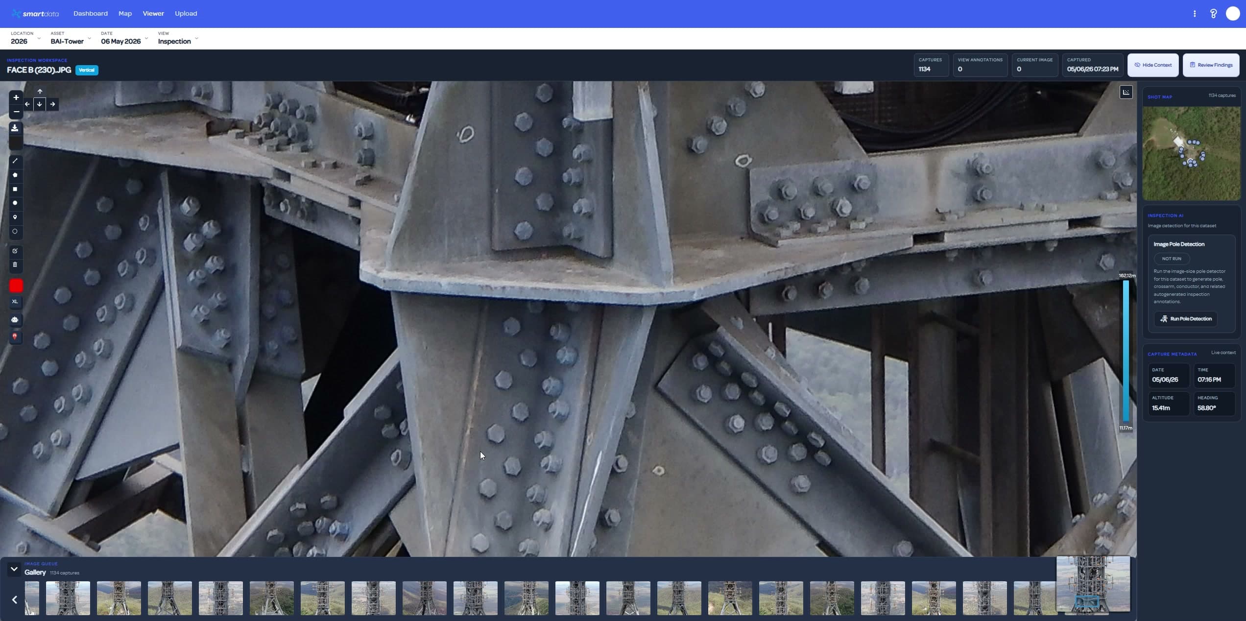
Inspection review and corridor analytics serve different questions. Use prepared asset evidence for image review. Evaluate classification and clearance screening through a separately scoped pilot.
Review the structure and available source images to understand the location and detail of a finding.
Use a scoped pilot to assess classification, clearance scenarios and data quality on representative LiDAR.
Review assumptions and excluded spans with the result. Screening outputs require expert review before action.
Check the data requirements, available views and next step for your project.
Keep the asset, source image and annotation close together.
Explore the workflowScoped pilots for classification and clearance screening under stated assumptions.
Explore the workflowReview geometry and spatial detail from prepared packages.
Explore the workflowTell us about the site, data and decision your team needs to make. We will identify a practical first workflow.